The Black Hill, Cat's Back
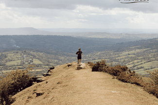


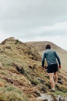
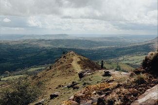
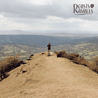
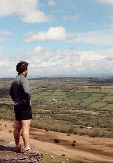
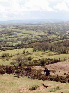
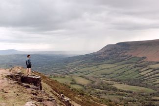
The Black Hill or The Cat’s Back is in the Black Mountains. It's known as the Cat’s Back due to the hill resembling the appearance of a hunched, sitting cat. Traversing the border between England and Wales, this is an energetic walk, but you will be rewarded with the most stunning views. Watch our Cat's Back film here.
Don't Miss
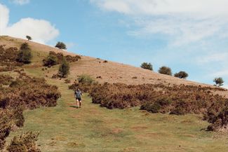
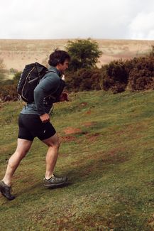
Rising just west of the village of Craswall, near the border with Wales. The southern part of the ridge leading to the summit is a rocky knife-edge with excellent views to either side. It is a reasonably straightforward walk up the narrow ridge, returning through a lonely valley. The ridge is very exposed, so it can be windy. Sturdy footwear is advisable as there are a couple of rough, rocky sections, particularly on the descent.


Recommended Roasts...
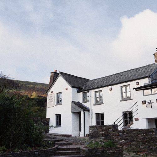
The Bulls Head at Craswall
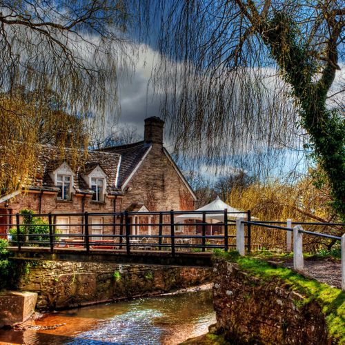
The Bridge Inn, Michaelchurch Escley