Castle & Rolls


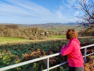
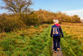
A walk to Wigmore Castle, where you can enjoy great history and fabulous views, before heading off into the woods.
Don't Miss
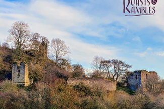
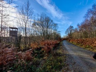
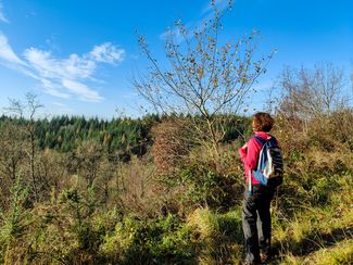
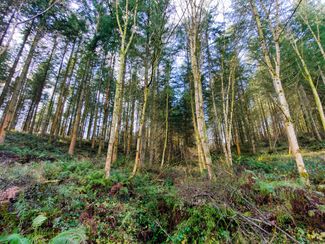
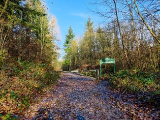
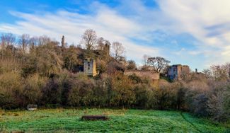
Pop into St James' Church with its very early Norman nave before heading to Wigmore Castle which is one of the many built along the English-Welsh border after the Norman Conquest. It was a major centre of power for 500 years and home to the Mortimer family, who dominated this area in medieval times. Now a romantic ruin, it's looked after by English Heritage. Then it's on to the Wigmore Rolls, a summit 288 metres high.


Recommended Roasts...
The Riverside at Aymestrey
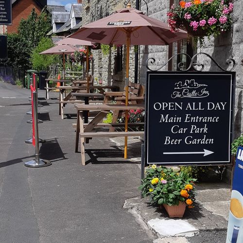
The Castle Inn, Wigmore
Gallery


Plan your trip
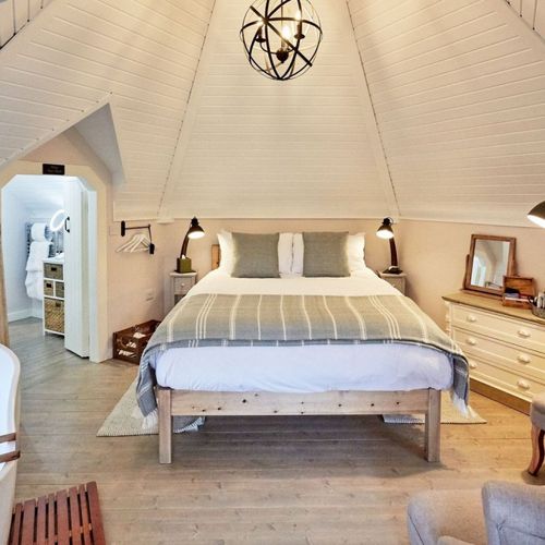
Stay
Our tiny green county is a stunning spot for a UK staycation. You can, quite literally, escape to the country.
Things to do
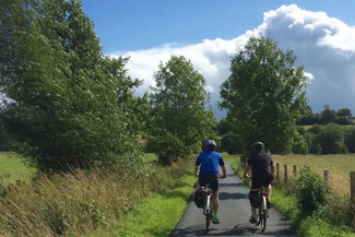
When it comes to things to see and do, Herefordshire is small but mighty! Get away from it all in our wild landscapes.
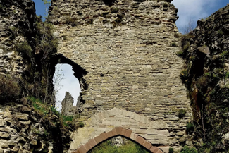
Wigmore Caslte
A magnificent border castle, founded in 1067 by William Fitz Osbern, it was a major centre of power for over 500 years.