Endless Views from Hergest Ridge
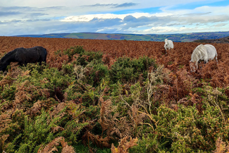


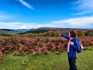
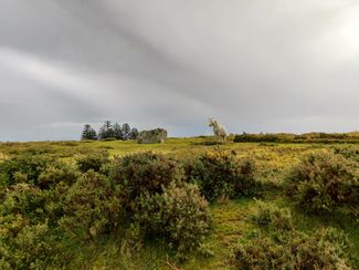
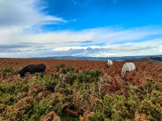
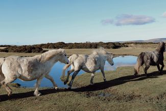
This is real walking country, trek along the border between England and Wales, drinking in the magnificent 360-degree views, which are only interrupted by the occasional grazing wild pony!
Don't Miss
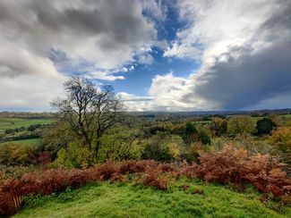
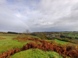
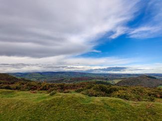
The beautiful moorland of Hergest Ridge straddles the border between England and Wales. It's a wild open space with stunning, uninterrupted views for miles. You'll walk along a favoured section of Offa's Dyke Path, Britain’s longest surviving ancient monument and also spot a motte and bailey. The circular route starts and finishes in the tiny historic town of Kington.


Recommended Roasts...
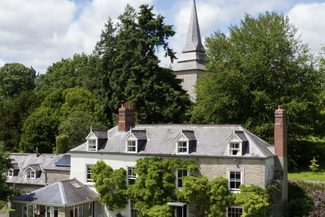
The Stagg Inn
Gallery


Plan your trip
Places to stay
Our tiny green county is a stunning spot for a UK staycation. You can, quite literally, escape to the country.
Things to do
When it comes to things to see and do, Herefordshire is small but mighty! Get away from it all in our wild landscapes.
Hergest Ridge
Stunning ‘Easy Peak’ accessible from the market town of Kington. Climb a little, gain a lot in vistas and atmosphere.