Wine Walk: Frome Valley
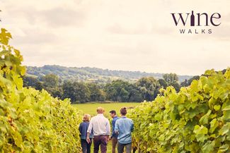

This beautiful walk starts at the Frome Valley Vineyard, wandering through hop yards and cider orchards to The Majors’ Arms, the pub with probably the greatest views in all England. At the trig point, look out to the Malvern Hills to the east, the Black Mountains to the west and the Shropshire Hills to the north, before returning to the vineyard.
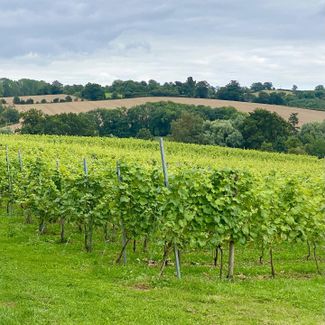
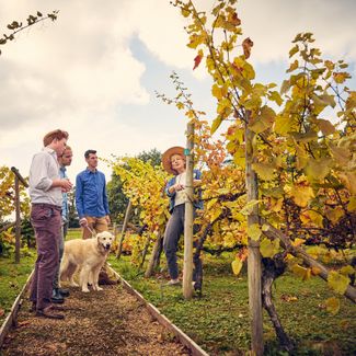
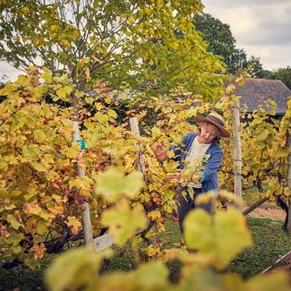
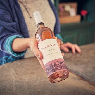
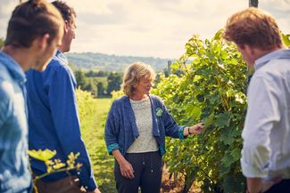
About Frome Valley Vineyard
Established in the 1990s, it was one of the first vineyards in the area. Its grape varieties are now considered “heritage” for English wine and include Bacchus, Madeline Angevine, Huxelrebe and Reichensteiner. The four acre vineyard is tucked into a curve of Herefordshire’s Frome River on a southern facing gentle slope and visitors are invited for Tours and Tastings at the cellar door from April to October.


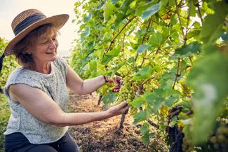
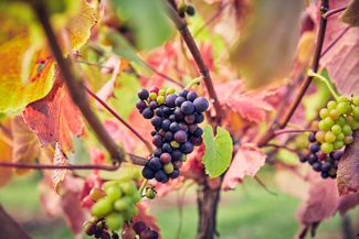
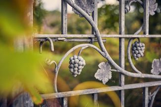
Gallery