Road route: Hay-on-Wye & Gospel Pass

Beautiful but testing ride along the side of Hay Bluff followed by a steady climb back past Llanthony Abbey, culminating in spectacular views from the top of Gospel Pass.
Don't Miss
The atmospheric remains of Llanthony Abbey – now housing a very welcome pub – and book town Hay, with its outstanding ice cream shop.

Hay-on-Wye & Gospel Pass

Visit Herefordshire Verified partner
-
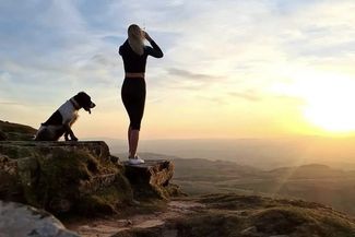
 Farmer Ben Cycling at Cats Back RidgePhoto: Visit Herefordshire
This backroad follows the side of Little Black Hill though Craswall and Longtown to Pandy. Head back up the Honddu valley via Llanthony Abbey – pausing for a cool pint in the pub amid the ruins – tackling a winding climb though woods with a nasty final haul before the vista opens up to its full glory.
After a very steep descent back into Hay, retrace your route through Clifford and back over the old toll bridge at Whitney-on-Wye. At the Carrot & Wine Stores, turning left to take the backroad to Eardisley and the Tram Inn – a fine spot for a celebratory cider and a hearty meal to refuel.
Visit Herefordshire Verified partner
Derived from the technical difficulty and the stamina requirements.
Track types
Rest stops
Hopes of LongtownTips and suggestions
Don't Miss: The atmospheric remains of Llanthony Abbey – now housing a very welcome pub – and book town Hay, with its outstanding ice cream shop.Longtown Castle
Hay Castle
St Mary's Church, Craswall
Clodock Church
Hay Castle
Saint Michael & All Angels
Clifford Castle
Crown Inn Longtown Herefordshire
The Bulls Head at Craswall
The New Strand
Hopes of Longtown
Craswall to Clodock: A Pilgrimage Experience in the Golden Valley
Adventure Out! Games
Want to Canoe
Orgasmic Cider Company
Artistraw Cider
Chapel House Farm Campsite
St Beuno & Peter's Church, Llanveyno
Chapters Restaurant
Walk Hay' Guided Walking
Logaston Press
Public transport
Get Timetable to destination
Coordinates
Derived from the technical difficulty and the stamina requirements.
Statistics
- Content
- Show images Hide images