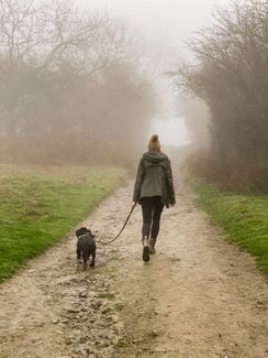
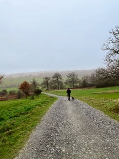
The Deer Walk


A beautiful scenic walk near Ledbury, with a couple of strenuous hills to challenge your fitness. Boots or wellies are recommended for the off-path sections.
Don't Miss
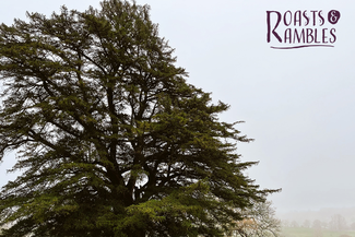
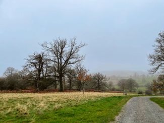
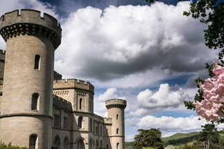
This walk starts in the Eastnor Deer Park, it's a designated Area of Outstanding Natural Beauty and home to a herd of red deer. Within the park you'll find the Somers Obelisk, a monument which can be seen for miles around. It's then on to Midsummer Hill which is situated in the Malvern Hills - it's a bit of a climb, but well worth the views. On your return, take in the magical view of Eastnor Castle, a 19th-century mock castle which was built between 1811-1820.


Recommended Roasts...

The Feathers Hotel, Eatery & Coffee House

The Farmers Arms
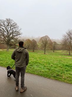
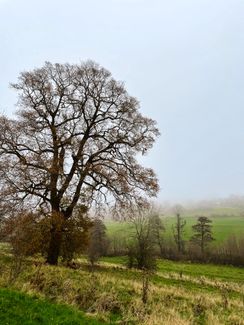
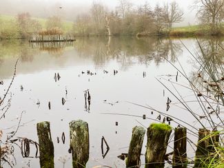
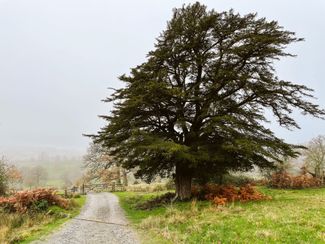
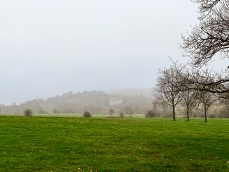
Gallery


Plan your trip
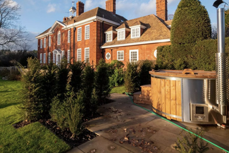
Places to stay
Our tiny green county is a stunning spot for a UK staycation. You can, quite literally, escape to the country.
Things to do
When it comes to things to see and do, Herefordshire is small but mighty! Get away from it all in our wild landscapes.
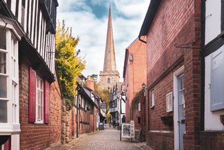
Ledbury
Ledbury's historic streets are lined with brilliant independent shops, plus plenty of places to refuel. The town is surrounded by woods, orchards and hills, with footpaths winding up to the Malvern Hills.