Abbey Dore to Peterchurch
Image

Abbey Dore

7.7 miles
Intro
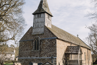
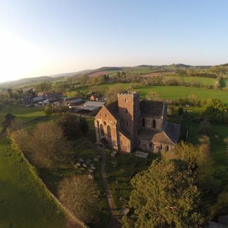
The pride of the valley is the serene Dore Abbey. The former Cistercian monastery, founded in 1147, became a pilgrimage centre due to its possession of a prized relic of the Holy Cross. Falling into disrepair following the 16th-century Dissolution, the Abbey was restored for worship a century later by the 1st Viscount (John) Scudamore. His largesse, following family tragedies, is thought to have been driven by guilt about his living on the proceeds of former monastic lands.
Image


Route Highlights
Image

Image

Image
Dore Abbey
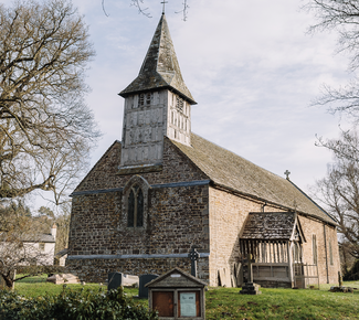
St Bartholomew's, Vowchurch