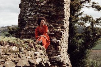
St Mary and St David, Kilpeck, has been described as England’s most perfect Norman church. So little has been altered since it was built in 1140. Its famous array of 12th-century stone carvings, including the outlandish and bawdy, even survived the purge of the Puritans.
The crowning glory of the medieval Herefordshire School of Romanesque Sculpture, Kilpeck’s old red sandstone is emblazoned with animals, birds, dragons and human forms, including the green man and the Celtic fertility symbol Sheela na gig.
The masterpiece was inspired by a long journey on foot. A 12th-century nobleman was enchanted by stone carvings he saw on a pilgrimage to Santiago de Compostela that he instructed master masons to create a similar effect.
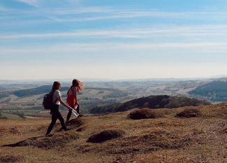
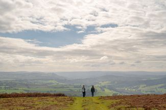
There is a long climb to Garway Hill’s 1,204-ft summit but the panoramic views are a worthwhile reward. Overlooking the Monnow Valley, Garway was an important site for millennia. Remains of a Neolithic flint-knapping ‘workshop,’ a Bronze Age burial-site, Iron Age enclosures, pottery and traces of a Roman fort have been discovered here. King John gave the manor to the Knights Templar who built a church and farmed the land to finance their Crusades. The hill bears a stark reminder of a later war. The hilltop octagonal brick structure was built in 1942 as an RAF Radio Tracking Station.
The trail skirts the former Kentchurch Deer Park, originally owned by the Knights Templar. Kentchurch Court is the ancestral home of the Scudamores and Sir John Scudamore secretly married a daughter of Welsh rebel leader Owain Glyndwr. The couple are thought to have harboured the fugitive here after his disappearance in 1412.
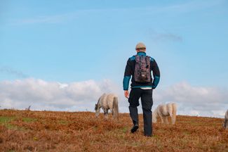
There is another long hill climb to Pontrilas before a gentler trek through the beautiful Golden Valley. Ewyas Harold was the site of an early Norman castle. Its species-rich common is home to meadow saffron, once cultivated by the monks of Dore Abbey.