Peterchurch to Whitney Bridge
Image

Peterchurch

10.7 miles
Intro
A short distance from the trail (near Dorstone) lies the craggy ruin of Snodhill Castle, one of the largest and oldest Norman castles in Britain. Worth a visit, its unique features once included a 12-sided High Keep with a twin-turreted entrance and unusually elaborate defences. In 1402, Henry V ordered the castle garrison to prepare for an attack by Owain Glyndwr’s forces, but it is likely the castle was destroyed in the English Civil War. Forgotten for centuries, its secrets are now being uncovered thanks to a huge restoration effort.
Image


Route Highlights
Image

Image

Image

Image

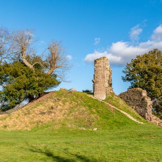
Snodhill Castle
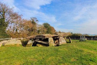
Arthur's Stone
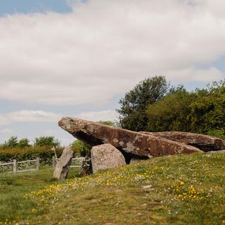
Arthur's Stone
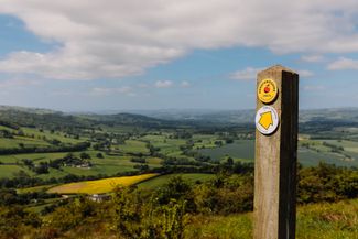
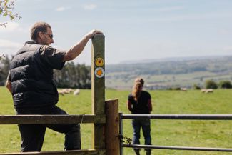
Merbach Hill