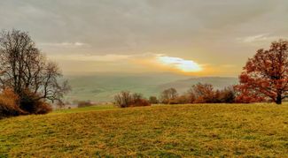
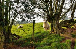
Arthur’s Stone & The Golden Valley


Discover the magical Golden Valley and look across to the Black Mountains as you make for the prehistoric Arthur’s Stone.
Don't Miss
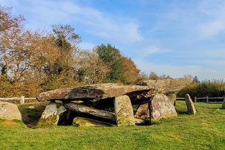
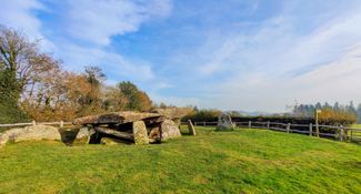
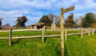
Arthur’s Stone is an atmospheric Neolithic burial chamber made of great stone slabs set in the hills above the Golden Valley. The tomb has been linked to King Arthur since before the 13th century with CS Lewis being particularly inspired by the area when writing his Chronicles of Narnia; the stone table upon which Aslan the Lion is sacrificed is said to be based upon Arthur’s Stone. Merbach Hill offers wonderful views of the River Wye and the Wye Valley.


Recommended Roasts...
The Pandy Inn
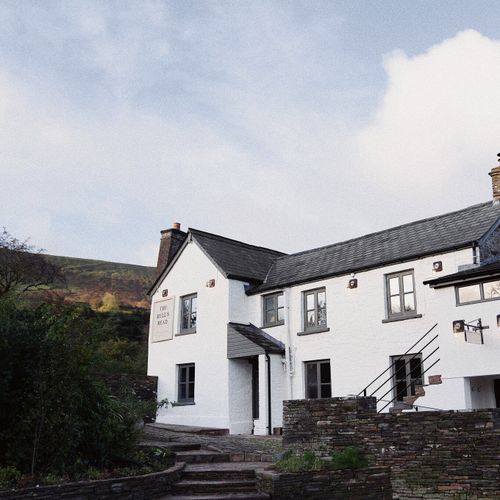
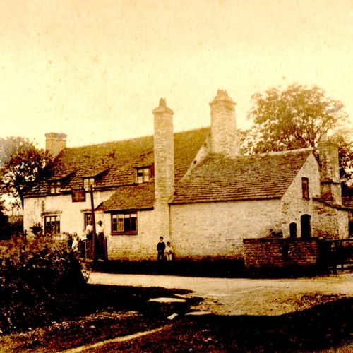
The Bulls Head at Craswall
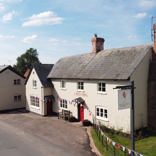
The Red Lion, Madley
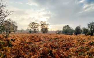
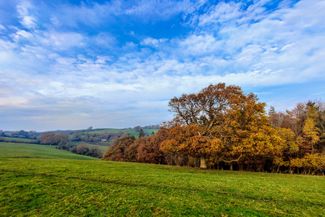
Gallery


Plan your trip

Places to stay
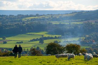
Our tiny green county is a stunning spot for a UK staycation. You can, quite literally, escape to the country.

Things to do
When it comes to things to see and do, Herefordshire is small but mighty! Get away from it all in our wild landscapes.

Hay on Wye
For a tiny place, Hay-on-Wye has a really big reputation. Dubbed the ‘Town of Books’ for its profusion of bookshops, Hay is also home to two international festivals: great writers, thinkers, artists and musicians share their big ideas at Hay Festival and How The Light Gets In.