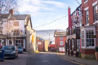
Ninth century ‘Bromgeard,’ a settlement surrounded by thorny scrub, grew in importance after Bishop Cuthwulf gained a royal charter in 840 to establish a ‘monasterium.’ Bromyard was later enhanced with substantial timber-framed buildings. Charles I stayed at the imposing black and white Tower Hill House in 1645, prior to marching to Hereford to take the city from the Parliamentarians.
These days, Bromyard is a foodie destination, with craft cider makers, fabulous butchers and the Michelin-star restaurant Pensons.
In an earlier era, the town welcomed visitors of a different kind. Each September, well into the last century, local families harvesting the Frome Valley hops were joined by gipsies in horse-drawn wagons and train loads of pickers from Birmingham, the Black Country and South Wales.
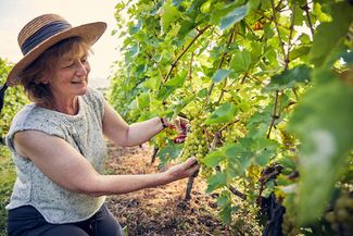
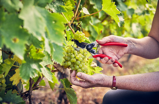
The hop pickers’ path heads to the valley. Threading through hopyards brimming with high-climbing bines in flower and a landscape that includes pasture, orchards and grapevines. Paunton Court, dating from the 16th century, is home to the Frome Valley Vineyard which offers tastings of English table wines.
Traditional hop-kilns with their distinctive coned roofs and cowls can be seen, though modern hop-drying is done at factory scale and harvesting is mechanised. A recent penchant for hoppy beer has revived demand.
Thriving Bishops Frome, with two pubs and a community shop, once played a key role in the hop harvest. Early last century the village population of 700 would swell to 5,000 souls, many living in a ‘Tin Town’ of huts. In the hopyards there were campfires, singing, romance and the forging of friendships that lasted a lifetime.
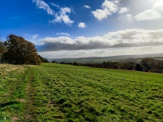
From the village, the trail crosses the River Frome and heads to steep Fromes Hill and the busy A4103. The approach is a delightful hollow way fringed with holly and oak where the yaffle of the green woodpecker may be heard.