Magic in Mortimer Country


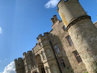
A magnificent march across Mortimer Country, complete with a handsome castle, an ancient hill fort, a magical valley and a mischievous woodland sprite…
Don't Miss
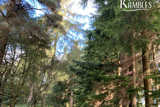
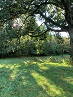
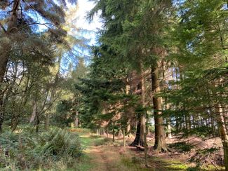
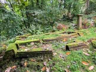
There are big views to be found on this varied walk, but the intimate atmosphere of Fishpool Dingle is a particular delight. Here you’ll find beautiful beech woods and towering Douglas firs, remnants of quarries and lime kilns, a chain of ponds that once provided fish for the castle’s kitchen, and Georgian follies and grottoes.
Read more about this walk in The Guardian


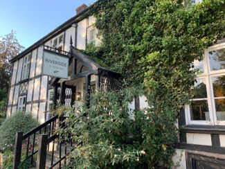
Recommended Roasts...
The Riverside at Aymestrey
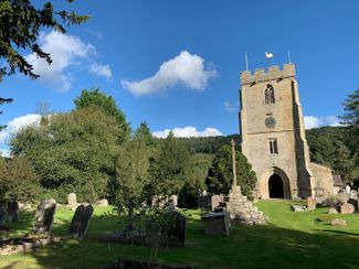
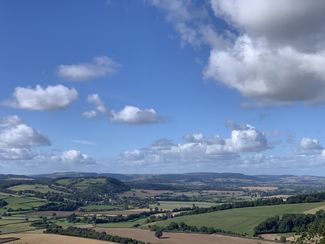
Gallery


Plan your trip
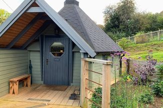
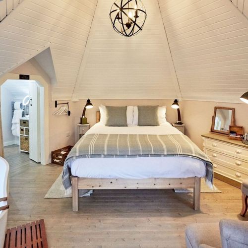
Places to stay
Our tiny green county is a stunning spot for a UK staycation. You can, quite literally, escape to the country.

Things to do
When it comes to things to see and do, Herefordshire is small but mighty! Get away from it all in our wild landscapes.
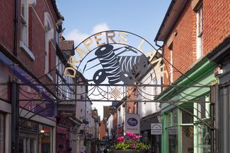
Leominster
A wealth of antique shops has brought TV stardom to Leominster (pronounced ‘Lemster’) – but this beguiling market town remains charmingly down-to-earth, with its array of vibrant independent shops and blend of medieval, Tudor and Georgian architecture.