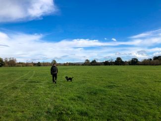
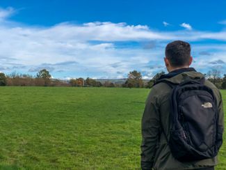
Ramble by the Wye


Admire the River Wye as you step along the riverbank, taking in the countryside’s peace and quiet and stumbling on beautiful churches along the way.
Don't Miss
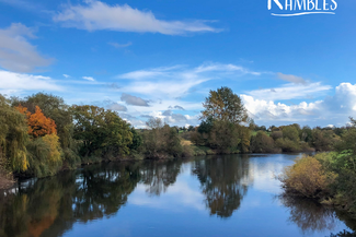
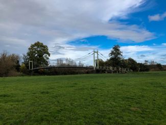
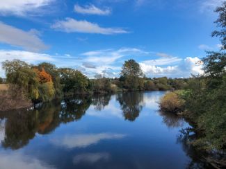
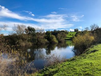
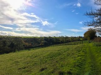
Much of the walk you will be alongside the fifth-longest river in the UK, the River Wye, which rises in the mountains of mid-Wales and flows south for some 150 miles, passing through Hay-on-Wye, Hereford and then Ross-on-Wye. This tranquil circular route takes in the delightful Sellack Suspension Footbridge which was built in 1895 to link the parish churches of Kings Caple and Sellack. Have your flasks at the ready - the nearby pebble beach makes a great coffee stop as you watch the swans glide by. To the left of the bridge sits St. Tysilio's Church, an idyllic 12th century, Grade 1 listed church.


Recommended Roasts...
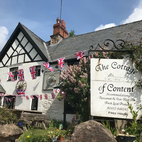
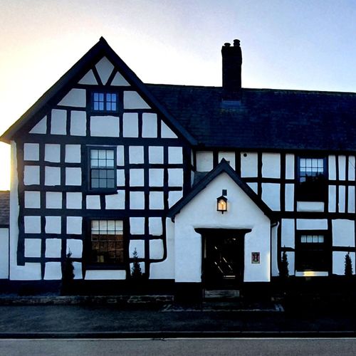
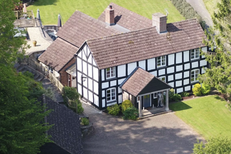
Cottage of Content
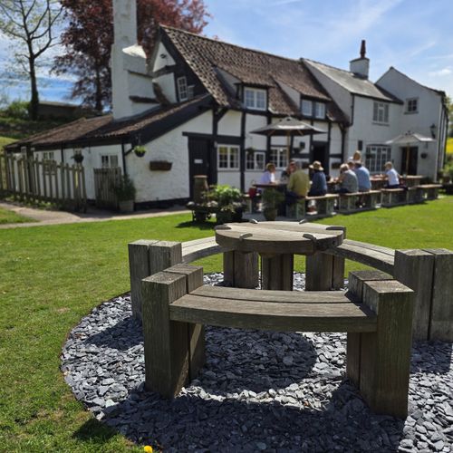
The Loughpool Inn
The New Inn, St Owen’s Cross
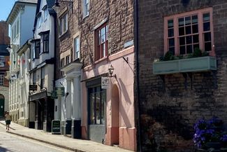
Gallery


Plan your trip
Places to stay
Our tiny green county is a stunning spot for a UK staycation. You can, quite literally, escape to the country.
Things to do
When it comes to things to see and do, Herefordshire is small but mighty! Get away from it all in our wild landscapes.