Easy Peaks - Garway Hill
Image

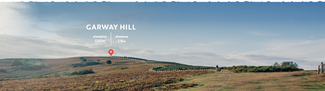
Garway

1.8 miles
Intro
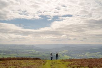
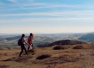
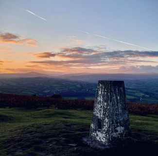
Garway Hill is one of our ‘easy peaks’ with views to warm the heart. Tucked away in the south of the county and just 20 minutes drive from Hereford it feels a world away.
Don't Miss
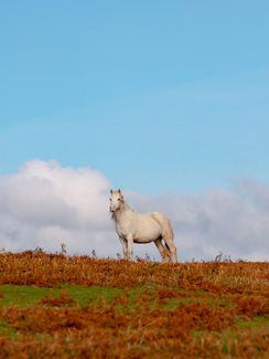
The array of wildlife that inhabits this rugged natural landscape. The common is largely covered by bracken with a wide variety of bird habitats including patches of gorse, short turf, areas of trees and grassland, and wetter areas around flowing springs. Keep an eye out too for a very unusual tree which has formed into an ideal circular frame for memorable poses! If you time it right there are stunning sunsets at the top of the hill. Or pay a visit to Garway Church nearby.
Image


Garway Hill Highlights
Image

Image

Image

Image

Garway Hill
Cheryl Waring Garway Hill