Leintwardine West


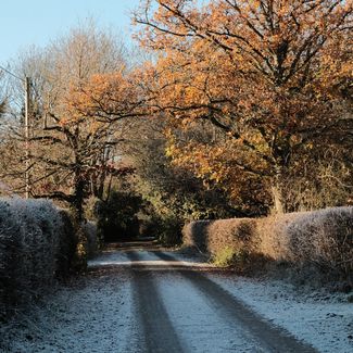
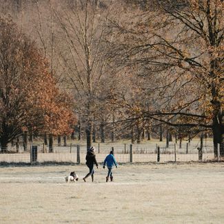
This is a very gentle walk in open countryside. It is flat so there are no challenging ascents, making it perfect for families.
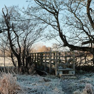
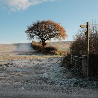
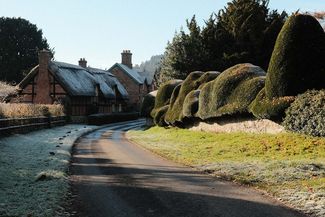
It’s a walk that follows country lanes, criss-crosses open fields and footpaths, with the odd bridge over streams, and into open landscapes with only sheep for company. It really is a very peaceful walk with hills and woodland in the distance but barely anything to disturb the peace.
Don't Miss
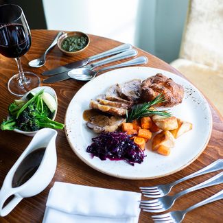
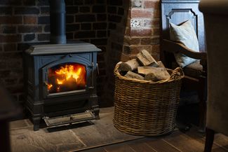
This beautiful circular walk on the North Herefordshire/ South Shropshire border starts and ends at The Lion Leintwardine. It's a fantastic foodie pub with rooms which sits on the banks of the River Teme - a popular wild swimming spot.
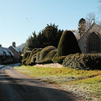
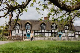
En route, take in the village of Brampton Bryan with its stunning cloud yew hedge - a fabulously quirky local landmark. Occupied since at least Roman times, this historic settlement has a pretty country church, as well as a small triangular green with fine Georgian houses and early timber-framed buildings. You'll also pass Aardvark Books & Cafe which a perfect place to pause for a coffee and cake, as well as a peruse of their superb collection of new and used books. There's also a fantastic kids corner, if you have children in tow.


Recommended Roasts...
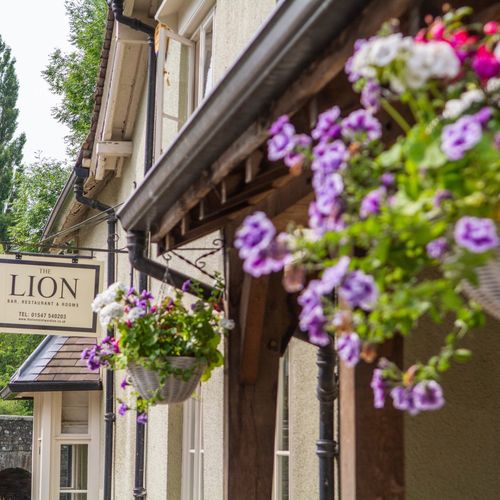
The Lion Leintwardine