Garway with the Ponies
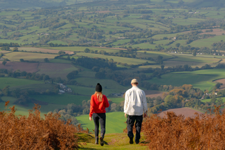


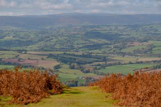
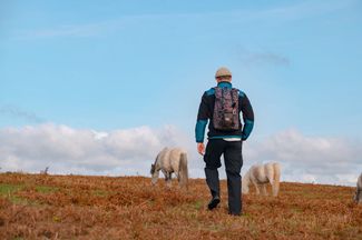
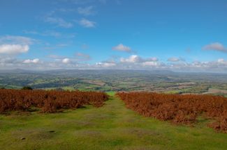
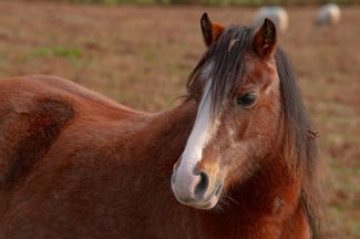
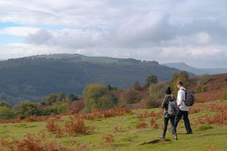
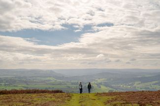
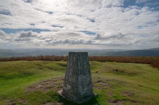
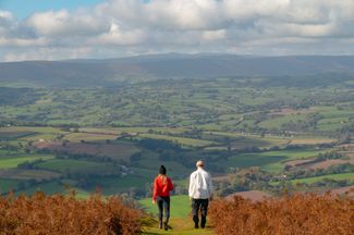
The 360 degree views at the top of Garway Hill are outstanding with views to the Malverns and Black Mountains. It's just you … and the wild grazing ponies!
Don't Miss
Garway Hill is a glorious spot. You'll feel completely surrounded by countryside and the tranquility of nature. And the wild ponies, roaming free on the hill are a perfect picture opportunity. Please remember these ponies are friendly but don’t get too close.


Recommended Roasts...
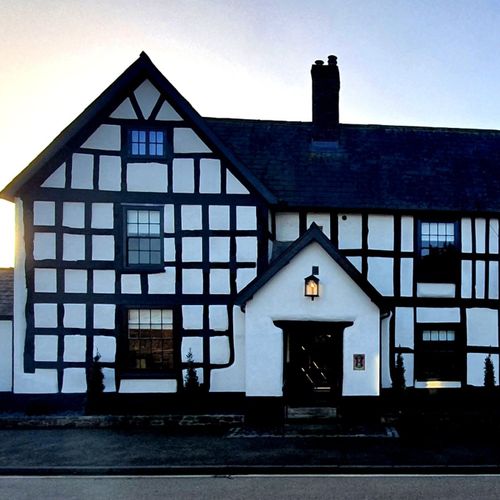
The New Inn, St Owen’s Cross
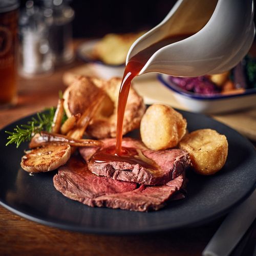
The Kilpeck Inn
Gallery


Plan your trip
Places to stay
Our tiny green county is a stunning spot for a UK staycation. You can, quite literally, escape to the country.
Things to do
When it comes to things to see and do, Herefordshire is small but mighty! Get away from it all in our wild landscapes.
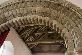
St. Michael's Church, Garway
The Knights Templar originally built a round church on the site, the remains of which can still be seen today.