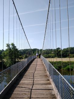
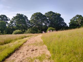
Ross-on-wye to Little Dewchurch
Image
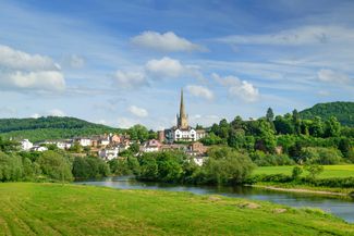

Ross-on-Wye

10.0 miles
Intro
The scenic splendour of its setting on the meandering Wye made Ross the 18th-century birthplace of British tourism. Seekers of ‘the picturesque’ - including Admiral Lord Nelson, Turner and Wordsworth - flocked to the town to enjoy boat excursions. William Gilpin’s Observations on the River Wye (1792) was the first illustrated tour guide published in Britain. Today, this part of the valley is a designated Area of Outstanding Natural Beauty.
To walk this route in a day, take bus 44 from Ross-on-Wye to Little Dewchurch and track back on the Herefordshire Trail - see itinerary.
Image


Gallery
Image
Image

Image

Image

Ross-on-Wye, the official ‘birthplace of tourism’
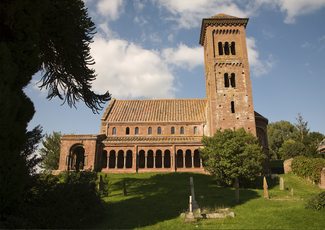
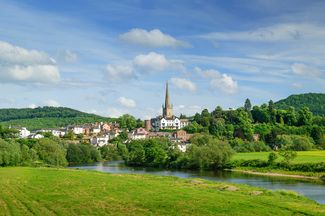
Hoarwithy Church