Selected alternatives for you
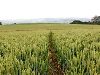
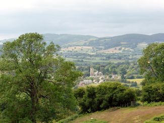
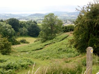
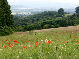
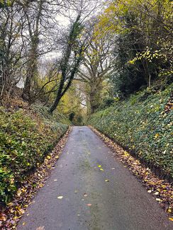
This route takes you east through the pretty village of Leintwardine, which sits on the banks of the River Teme. It then rises 800ft to 924ft above sea level, offering superb views along the way. Please note that it's a relatively strenuous trail, with a good number of stiles to clamber over.
easy
Distance 6.3 mi
Duration2:40 h
Ascent676 ft
Descent679 ft
Highest point945 ft
Lowest point387 ft
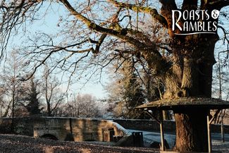
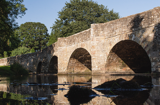
Once known as Bravonium, Leintwardine was a military and trading outpost from early in the Roman conquest. The discovery of the remains of Roman baths and underfloor heating suggests it would have been a ‘mansio’ - a stopping place for those on official government business. Sitting on the banks of the River Teme, the pretty village is now full of characterful houses.
Leaving The Lion Leintwardine cross road to riverside, turn left up Watling Street. Just before the School turn right into field. Follow the path diagonally left across two fields to the road. Then, turn right and almost immediately fork left up a broad track to the road at the top. Turn left up to main road. Cross the road and follow a broad track and a bend, then in 50 yards go over a stile in the left hedge line.
Walk diagonally right and follow the Herefordshire Trail for 1.75 miles. At the cross paths, turn sharp right and follow a broad farm track for 0.75miles to the right-hand bend. Then go straight on into the field. Walk diagonally right to the far corner. Turn left onto the lane to find the main road. Cross the road and walk up the lane as the road turns into a wide stone track.
Continue to cross paths, turn right and follow path down into the valley. At the road turn left and then right and follow the road back into Leintwardine. You'll return to The Lion Leintwardine in the village.
Author’s recommendation
Don't Miss:
Soak up the views! Look out to the Iron Age hill fort of Croft Ambrey to the south, Wales to the west, and the Shropshire Hills to the north. Beautifully tranquil, you're unlikely to see another soul on this route, but there will be plenty of sheep, pheasant, and red kites to keep you company.
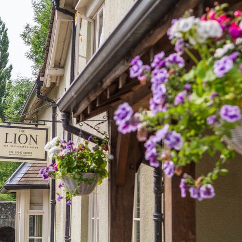
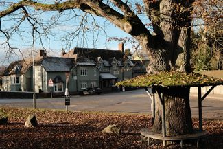
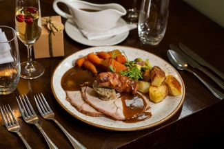
This circular route starts and finishes at The Lion Leintwardine, a charming pub with bars, restaurant, and rooms - it's the ideal place to unwind with a local pint and a delicious roast. The lawns slope down to the lazy River Teme, which is a stunning spot for a swim.
Responsible for this content
Visit Herefordshire
Verified partner